

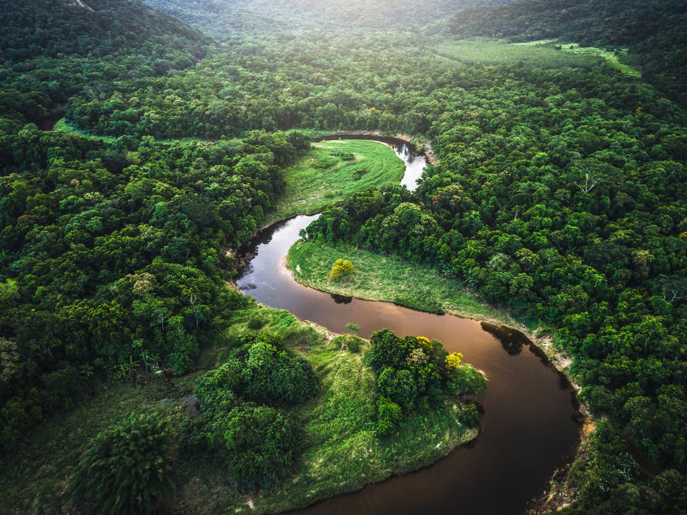
Between July 25 and September 23 in 2001, the people of Southern India witnessed one of the most unusual weather phenomena in recorded history. Following a reported loud boom in the sky, it started to rain in the region. However, this was not your typical rainstorm.
________________________________________________________________________
Read Also : Earth, the only thing we have in common is ailing!
The rain was blood red, with some reports saying there was also black, green, and even yellow rain. Some who witnessed the odd weather phenomena stated that the trees in the region started to shed their leaves and turn grey, looking as if they were burned. Though some events during that day may have been exaggerated, the incident sparked a lot of scientific curiosity.

Though this may sound like something out of science fiction, there are recorded cases of blood rain from all over the world. Is it actually blood? Thankfully not. Nevertheless, this does not make events like the one in southern India any less unsettling. Researchers have found that this unusual form of rain is stained either by dust from deserts or by microscopic algae that are suspended in the raindrops. However, it is also important to mention that scientists are not entirely sure how algae get into the clouds.

So was this the explanation for our mysterious weather in southern India? No, and yes. Upon examining the rain, researchers quickly found red-tinted cells that looked like a certain type of algae. But, researchers could not find any DNA matches or figure out how so much of this mysterious material got so high into the atmosphere.
One of their hypotheses is that the substance may have been alien in nature, hitching a ride on a meteor and entering our atmosphere. This could explain the sounds of a loud explosion that were reported before it started raining, and why the substance was so oddly durable. However, in 2013 researchers eventually found the elusive DNA inside the cells. It was matched with trentepohlia annulata, a type of red algae common in waters all over the world. So sadly, no aliens….yet.
________________________________________________________________________
Weather is Weird
The science behind the weather can be odd, fascinating, and at times a bit spooky. Weather is not always just snow, sunshine, and rainbows. In rare cases, it can even seem almost biblical. From the rains of frogs to blood rain, weather in just about any place around the world can get very weird. The Earth’s atmosphere is a sometimes chaotic system where small changes in one location can have massive effects elsewhere.
As you are probably well aware, meteorology is the study of the atmosphere. Derived from the Greek words meaning “study” and “of the atmosphere,” meteorology covers all aspects of the atmosphere, including atmospheric physics and chemistry, not just weather prediction.
The unusual weather phenomena on this list are strange because they are either extreme, meaning conditions need to be perfect for them to occur, or they are a bit of a mystery and have left researchers scratching their heads. All in all, the way 2020 has been going, don’t be surprised if you see 1 or more of these unusual weather events occur before the year ends.
1. It is raining frogs and fish

Let’s continue on the weird rain express. In 1947, after a devastating storm, The Library of Congress reported that fish fell on a town in Louisiana. In more recent history, in 2005, people in Serbia reported thousands of frogs falling from the sky. These are not the only two cases of rains of animals. There have been multiple reports of similar events happening, dating all the way back to ancient civilization. Though this may seem like something out of the Bible, there is a scientific reason why this may occur.
A tornado consists of a low-pressure area at the center of a high-pressure cone. When a tornado (or waterspout) forms over water, lightweight objects in the water, like frogs and fish, can be sucked up and carried over land. Once the waterspout hits land, it loses energy and slows down. This causes the pressure to drop and the vortex releases whatever it has been carrying. Including frogs.
2. The elusive morning glory clouds

Rather than apocalyptic, this weird weather is simply stunning. For the uninitiated, morning glory is a very rare type of cloud that takes on a rolling appearance, looking like a massive tube in the sky. These clouds measure up to 620 miles long and can even occasionally appear consecutively. The consensus is that the clouds are formed when an updraft pushes through the cloud, creating its signature rolling appearance, while moist cooler air at the back of the clouds causes them to sink downward. They sit relatively low, snaking through the sky. They occasionally appear in California, Eastern Russia, and the English Channel. However, the best place to see morning glory clouds is in the southern part of northern Australia’s Gulf of Carpentaria from late September to early November.
3. Don’t get hit by these massive balls of ice
Hailstorms may already seem like an odd phenomenon. Now imagine getting pelted by a hailstone that is more than six inches in diameter. These massive hailstones have been known to injure people, cause public damage to buildings, and even damage aircraft. This strange weather event occurs in much the same way as regular hailstones.
Hail is formed when raindrops are carried by thunderstorms into extremely cold areas of the atmosphere, where the water freezes. The hail falls when the thunderstorm’s updraft can no longer support the weight of the hailstone. This occurs when the stone either becomes large enough or the updraft weakens.
Very large hail is formed in layers where the clouds are composed of supercooled water droplets. As the hailstone falls it collects water droplets which instantly freeze and form another layer. If the stone is then caught in an updraught, it is carried back higher into the cloud to collect more layers of ice.
These layers can build up until the stone is very big. Look out below.
4. The stunning frost flowers in the Arctic Ocean

Blooming across the arctic ocean, these ice flowers are truly majestic. Hundreds at a time can appear if the conditions are just right. Dubbed Arctic Ocean Frost Flowers, this unusual weather phenomenon forms from imperfections on the ice’s surface in sub-zero temperatures, usually around -20 celsius. What is even more fascinating is that these ice spikes have been found to contain microorganisms that form their own little miniature ecosystem, similar to what you mind see on a coral reef.
5. Volcanic Tornados are terrifying
Volcanoes are already terrifying, and they can’t get much worse, right? Wrong. Introducing volcanic tornados. When a volcano has a large eruption, you are probably well aware that blazingly hot ash and rock enters the atmosphere. At the same time, solidified lava pieces, volcanic ash, and hot gases travel down the mountain’s side as a pyroclastic flow.
________________________________________________________________________
Read Also : “Earth is just not our Environment; We Are The Environment..
So, where do tornadoes come in? As the pyroclastic flow moves along the ground, some of the gases trapped inside start rising, and as it starts rising, it starts spinning. This hot gas gets squashed together by the air around it, causing it to spin faster and faster, creating a volcanic tornado. The good news is that these volcanic tornados have very short lifespans.
6. No, those are not UFOs; they are lenticular clouds

Lenticular clouds’ distinctive round disc shape has been the cause of many misconceptions, with some people claiming that these clouds are alien spacecraft in disguise. Though it is an exciting thought, the reality is that it is just another case of unusual weather. Also, dubbed Altocumulus Standing Lenticularis clouds, these clouds tend to form around large protruding landmasses like hills or mountains.
When stable, moist air flows over a mountain, a series of oscillating waves is created. If the temperature at the crest of the wave is the same as the dew point temperature, condensation occurs in a lens formation. As the air through the trough of the wave, where the temperature and dew point temperature are not equal, evaporation occurs and a series of lenticular clouds may form.
These can take the shape of waves, pizza, pancakes, and of course flying saucers.
7. 10 Hours of non-stop lighting

This strange weather phenomenon lights up the skies of Venezuela near the mouth of the Catacombo River. Relampago del Catatumbo, or Catatumbo Lightning, is a massive stream of lighting that can occur for 10 hours at a time, and as much as 150 nights of the year.
It is believed that Catatumbo Lightning originates from storm clouds that float an impressive 16,000 feet (4,876 km) above the Earth. A mixture of heat, moisture, high mountains, and irregular terrain create the perfect conditions for this weird weather. Thor, are you there?
15+ WEATHER FORECAST INSTRUMENTS AND INVENTIONS THAT HELPED DEFINE HOW WE PREDICT THE WEATHER
8. Twirling dust devils are baby tornados
Dust devils form in a very similar way to volcanic tornados, minus the volcano, of course. You typically can spot a dust devil in desert places like Nevada’s Black Rock City or on the outskirts of Phoenix, Arizona. These small tornadoes are usually harmless, with a very short lifespan. They appear when hot air near the Earth’s surface rises through a pocket of cooler air.
This causes the air mixture to rotate, sucking in more hot air, causing it to rotate faster. If the mini-tornado forms over a dusty area, dust is easily sucked in with the air. Dust devils dissipate when there is no more hot air left.
9. Do not eat these snow donuts

You can try one if you want, but we are sure they will not be as tasty as any of the treats from Krispy Kreme. Snow donuts are cylindrical formations that are created when the wind rolls a natural snowball across snowy terrain. Think of a snowman. However, with snowballs, the rolling stops once the snowball gets too heavy, meaning it stays wherever it stops. Snow donuts, however, have hollowed-out centers, created due to the thin inner layer blowing away as they form. They are lighter than balls, so tend to roll farther. Don’t expect to see snow donuts everywhere, as conditions have to be absolutely perfect for them to form.
10. The angelic Brocken spectre

Unfortunately, the only way you can catch a glimpse of this experience is if you are a mountain climber. However, if you do get a chance to experience one, you quickly learn why people describe the experience as heavenly.
The weather phenomena occur when a shadow is magnified and surrounded by a rainbow. The Brocken Spectre is the product of the sun casting a shadow on a water droplet in the air behind you, reflecting back off the water droplets.
11. The pirates green flash

Who would’ve thought that there was some truth to the quirkiness of one of Captain Jack Sparrow’s adventures? Also known as the green-ray, these sporadic events take place briefly just before sunset and sunrise, and can only be seen on a clear day, and when looking at a distant horizon, most commonly over the ocean. As the name implies, a green flash of light appears near the sun.
Observing the green flash is the result of looking at the sun through a greater and greater thickness of the atmosphere as the sun moves lower in the sky. Water vapor in the atmosphere absorbs the yellow and orange colors in white sunlight, and air molecules scatter the violet light.
That leaves red and blue-green light. As the Sun nears the horizon, the light is highly bent so that there appear to be two discs – a red one and a blue-green one. The red one is always closest to the horizon, and at the moment it sets, you can catch a glimpse of the blue-green disk as a flash.
12. The oddly creepy Mammatus clouds

Mammatus clouds look like giant white lumps in the sky. However, people who have experienced these clouds have said that they give off the appearance that the sky is falling. Unlike most other clouds that form when the air rises, Mammatus clouds form when moist air sinks into dry air.
Specifically, the air must be cooler than the air around and have large liquid water or ice content. This unique mixture creates these unique clouds’ bubble-like appearance. Interestingly, these clouds are usually an indication that severe weather may be around.
13. Goodness gracious great balls of lighting

This strange weather event is probably one of the weirdest on this list. Resembling something out of a fantasy movie, small spherical lighting balls have reportedly appeared in front of people. It is estimated that at least 10% of the U.S. population has reportedly witnessed ball lightning, a free-floating red, orange, or yellow sphere of light.
These balls of fire are said to descend from the sky or form several meters above the ground. The balls of lightning bounce off objects, burn items, and can even leave the smell of sulfur behind. Researchers believe that ball lightning could be related to thunderstorm activity. However, there is no consensus on what causes it.
14. The jellyfish lighting sprites
Lightning sprites get their name from Shakespeare’s A Midsummer Night’s Dream, specifically, from the sprite Puck. They are large-scale electrical discharges that occur high above thunderstorm clouds.
They are usually triggered by discharges of positive lightning between an underlying thundercloud and the ground. The sprites form at irregularities in the plasma, or charged particles of gas, in the ionosphere.
15. Shelf clouds look like something ominous is about to happen

We can’t help it; these clouds look like something out of a science fiction film, as if a spaceship is about to emerge from them. Shelf clouds occur when warm, moist air is fed into a thunderstorm’s updraft region. It creates their ominous look. It most cases, just a storm is coming.
NOTE – This article was originally published in Interesting Engineering and can be viewed here


